
Top 20 Apps Like EarthQuake+ for iOS and Android
Looking for apps like EarthQuake+? We have compiled a list of the top alternative apps for iOS and Android devices. EarthQuake plus alternatives are mostly weather Apps.
There are 20 apps similar to EarthQuake plus available for multiple platforms, including iPhone, iPad, and Android smartphones. Earthquake Monitor is the best alternative. Other EarthQuake plus like apps are Earthquake+ Alerts, Map & Info, Epicenter - Worldwide USGS & EMSC Data, Earthquake Notifications Maps, and Volcanoes & Earthquakes. All of the best 2026 alternative apps are listed below and regularly updated.
EarthQuake plus Alternative Apps

Earthquake Monitor - Detailed alerts, map, and feed
Browse earthquakes in the past 24 hours or past 30 days in map mode or data feed mode. Use the slider to quickly filter earthquakes by magnitude.

Earthquake+ Alerts, Map & Info - The best earthquake app!
CONGRATULATIONS!
Epicenter - Global Earthquakes - Worldwide USGS & EMSC Data
Epicenter - Definition: The location on the surface of the earth directly above the origin of an earthquake.
Earthquake Notifications Maps - Real-time events from INGV
Earthquake - Notifications and Maps is an application designed to promote the mindful use of smartphones, entirely based on Open Data. Support the development of the project by downloading the app.
Volcanoes & Earthquakes - earthquake & volcano alerts
Volcanoes & Earthquakes shows the latest earthquakes and active volcanoes on a map and as list. You can filter the data shown in various ways, e.g.
Earthquake USA - Official data notification map
Earthquake USA delivers notifications, statistics, maps and lists of the latest earthquakes published by U.S. Geological Survey.
Weather Up — Live Widgets - Radar, Alerts, and Local Maps
Weather Up brings the most important weather data right to your Home Screen with at-a-glance, interactive widgets.
National Weather Forecast Data - NOAA Weather Point Forecast
The fastest way to access NWS/NOAA weather data. Simply tap anywhere on the map and view NOAA's spot specific weather forecast.

Hotspot Earth - Realtime Data
Hotspot Earth - The Hottest Point on Earth, Right Now Where on Earth is it hottest right now? Hotspot Earth shows you in seconds.

NOAA Buoy and Tide Data
The first and still the best, NOAA Buoy and Tide Data allows you to retrieve weather data from NOAA's National Data Buoy Center. It also provides tide predictions for the US and Moon phase information.
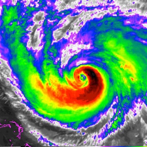
National Hurricane Center Data - NHC Hurricane Tracker App
Download the most comprehensive Hurricane Tracker app for iOS. MAIN FEATURES INCLUDE: + GOES Satellite Imagery Animations + National Hurricane Center Products

WeatherData
WeatherData is built for meteorologists and weather enthusiasts who wish to view real-time data plots of North American surface weather observations.
Weather Alerts: Severe, Storm - National Weather Service, NOAA
Weather Alerts app is there to help you stay informed about weather conditions, alerts, forecasts, storms & fires.

NOAA Space Weather Live Alerts - Radar Tracker My Clime Channel
Weather Radar Live: Accurate Local Forecasts & Alerts Stay ahead of the weather with Weather Radar Live, the ultimate weather app providing accurate and reliable forecasts for your local area.
Best Weather Apps Like EarthQuake plus

SunSmart Global UV - Global UV and sun safety
Protect yourself when the UV is at damaging levels with the SunSmart Global UV app.
WeatherBug Elite - Local Weather, Radar, Maps
Download the most popular free weather app powered by the largest professional weather network in the world!
Pluviometer - Rain gauge - Rain today and tomorrow
The pluviometer is an instrument used to measure the amount of rain fall in a day. It is part of the main instruments of a common meteorological station.
Weather and wind map - World Sea temperature
Planning a day at the beach or a boating trip? Are you curious about what the water temperature is at your favorite place to swim? World Weather Map HD is the fastest, easiest-to-use, weather application that displays current weather conditions and sea surface temperature directly on the map.