Elevation Tracker
Published by Arlo Leach on Jul 15, 2011Genre: Navigation
Ratings: 2.33
Version: 2.6.5
Updated: Jan 24, 2020
Downloads: 599
Elevation Tracker is a navigation app developed by Arlo Leach. The last update, v2.60, released on January 24, 2020, and it’s rated 2.33 out of 5 based on the latest 6 reviews. Elevation Tracker costs $2.99 and requires iOS 8.0+ and Android 7 or newer to download.
Video: Elevation Tracker Overview
Description
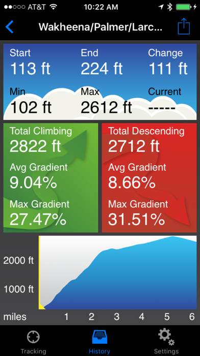
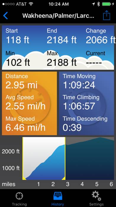
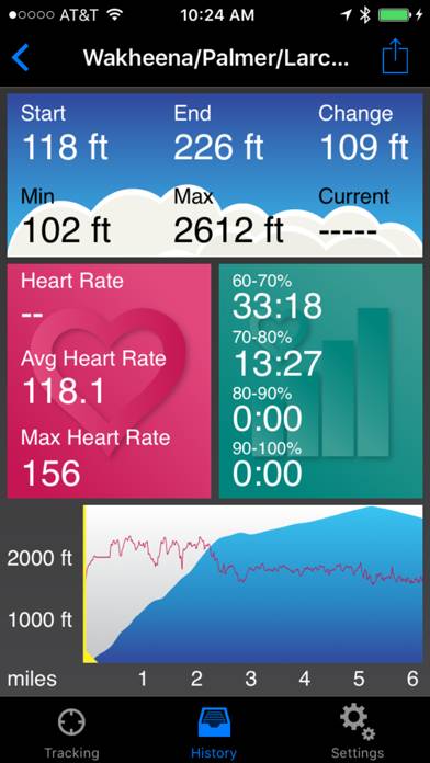
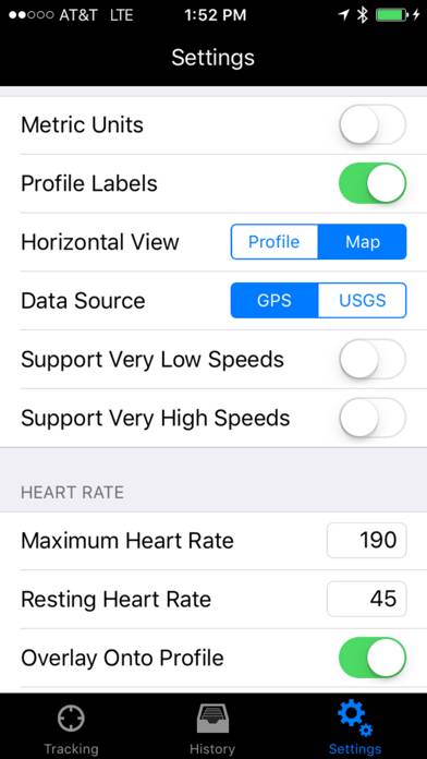
Elevation Tracker is a fitness tracking app with a particular emphasis on climbing and descending. It tracks and displays the following info:
- Basic info like time, speed and distance
- Current elevation and accumulated climbing and descending amount
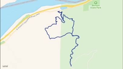
- Elevation profile and route map
Show more
Download Elevation Tracker
Scan to Get the App!

How to Use Elevation Tracker on Your PC or Mac
Want to enjoy Elevation Tracker on your desktop? Download the latest APK (2.60, 5 MB) or choose your preferred version, and follow our Bluestacks emulator guide for easy installation on Windows or macOS. For any assistance with downloading or installing APK files, feel free to visit our forums!
User Reviews and Ratings
★★★★★ Good
Pretty accurate
★★★★☆ I like it
My experience has been that this app Elevation correlates with Garmin and paper topo maps Better than Gaia or Strava.
My primary use is for tracking heart rate.
The other data is a bonus providing, speed & distance.
Really useful when planning a backcountry ski route.
I still rely on Gaia for where we are on the map/route, but find that Gaia
Elevation stats very more widely.
One request would be to provide the user with the ability to specify which fields are shown on the watch, you know
★★★☆☆ Good app, needs work
App elevation if off by more than 100 feet. If I go up a mountain and back down it reports a elevation much higher than I started with.
Doesn't truly support background app refresh. App constantly crashes or has to be reopened.
Doesn't always track elevation and it would be able to use the up/down buttons on the Pebble to look at elevation gain, start/max elevation.
Thanks,
Mike
★★★★★ Works Great
Read all reviews
I walk city streets and hills and this works really well. Easy to read and it will also display my route. Pretty accurate too.
Related Apps
MagnetMeter
Top #92 in Navigation Apps
Celestial Navigation
Top #37 in Navigation Apps
Legal Smoke Guide
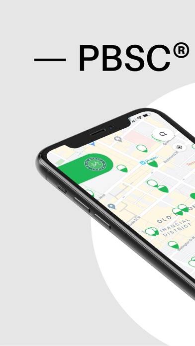
PBSC
Top #94 in Navigation Apps
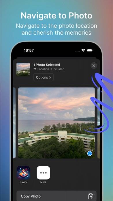
Navify - Navigate to Photo
Top #79 in Navigation Apps
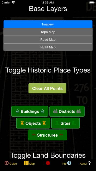
US Historical Places Point Map
Top #60 in Navigation Apps