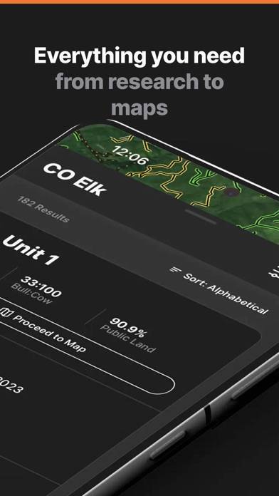
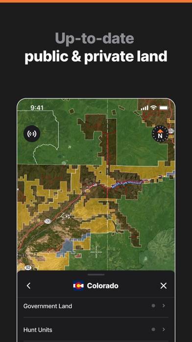
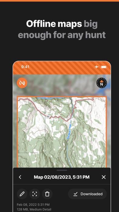
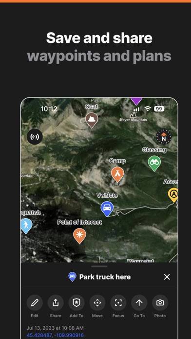
GOHUNT / Hunt Research & Maps

Published by GOHUNT, LLC on May 03, 2021
GOHUNT / Hunt Research & Maps icon

Genre: Navigation

Ratings: 4.85

Version: 6.5.1

Updated: Sep 23, 2024

Downloads: 398

GOHUNT / Hunt Research & Maps is a navigation app developed by GOHUNT LLC. The last update, v6.50, released on September 23, 2024, and it’s rated 4.85 out of 5 based on the latest 6.6K reviews. GOHUNT / Hunt Research & Maps is FREE and requires iOS 13.0+ and Android 12 or newer to download.

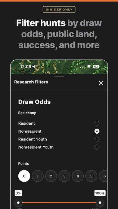
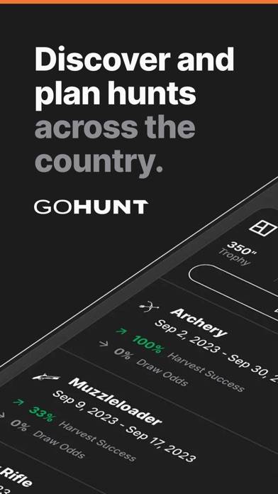
Maps, Draw Odds, and Research
Description

The only all-in-one hunting app where you can find, filter, navigate, and succeed on your next hunt.
Show more

Available In-App Purchases

Explorer (Annual)

$49.99

Insider (Annual)

$149.99

Insider (Trial)

$149.99

Download GOHUNT / Hunt Research & Maps

Scan to Get the App!
QR code for GOHUNT / Hunt Research & Maps

How to Use GOHUNT / Hunt Research & Maps on Your PC or Mac

Want to enjoy GOHUNT / Hunt Research & Maps on your desktop? Download the latest APK (6.50, 278 MB) or choose your preferred version, and follow our Bluestacks emulator guide for easy installation on Windows or macOS. For any assistance with downloading or installing APK files, feel free to visit our forums!

User Reviews and Ratings

★★★★☆ Great mapping service
Gave 4 stars just because of the imagery probably still behind onx and also you cant edit/trim tracks.
★★★★★ Great Hunting App
I I use the app for all my outdoor needs. Hunting, fishing, hiking. It’s a great way to keep track of where you are and where you’ve been. Waypoints are great for keeping track of animals and points of interest. I use it to e scout during the offseason to plan my next hunt. Love the app.
★★★☆☆ Map needs attention
Mapping is not as detailed as ONX. Living on the east coast I still use ONX.Filtering 2.0 has helped me draw 4 tags in 2 years. This alone is worth $150 per year for me.
★★★★☆ Great app
I wish there were more states to choose from but other than that it’s a great app
★★★★☆ Would like better imagery…
I love the tools on this app, they are extremely useful and very good ideas. However, I would love it if there were updated maps to use on the app. The satellite imagery is extremely blurry, at least in the areas I look at. I would love clearer imagery if possible. I don’t know the legality behind what you’re able to use, but in my opinion it would increase the usefulness of the app. I use this app for a lot, except digitally scouting. I still use Google Earth for that, but would love to just us
Read all reviews

Related Apps

Citymapper screenshot
Citymapper
TrasometrPro—calc cost of ride screenshot
TrasometrPro—calc cost of ride
Kentucky 511 Road Conditions screenshot
Kentucky 511 Road Conditions
Top #62 in Navigation Apps
ChargeFinder: Public Charging screenshot
ChargeFinder: Public Charging
VeloDispo Western Europe screenshot
VeloDispo Western Europe
DoubleMap Bus Tracker screenshot
DoubleMap Bus Tracker
Top #97 in Navigation Apps
GOHUNT / Hunt Research & Maps App Alternatives