GTag: GPS Map Camera
Published by Devang Kunjadiya on Dec 04, 2024
Genre: Navigation
Ratings: 5.00
Version: 1.5.5
Updated: Oct 11, 2026
Downloads: 294
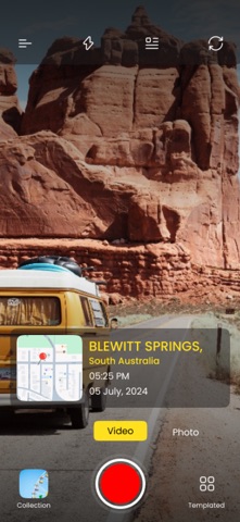
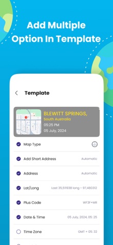
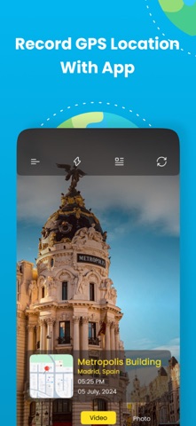
GTag: GPS Map Camera is a navigation app developed by Devang Kunjadiya. Available as a free download, it was updated to v1.50 on October 11, 2026, and currently holds a 5 out of 5 rating based on 10 reviews. Before downloading, make sure your device has at least 77 MB of free space and runs Android 14+ or iOS 15.0+.


Description
Download GTag: GPS Map Camera

Using GTag: GPS Map Camera on PC or Mac
GTag: GPS Map Camera may be playable on Windows and macOS using Android emulators such as BlueStacks. Follow our BlueStacks installation guide to get started. Looking for GTag: GPS Map Camera APK? Visit our forums for help finding authorized downloads, installing APK files, and troubleshooting installation issues.
User Reviews and Ratings
Similar Navigation Apps