Mediterranean Sea GPS Charts
Published by Flytomap on Jan 11, 2011Genre: Navigation
Ratings: 4.50
Version: 5.7.3
Updated: Oct 13, 2023
Downloads: 964
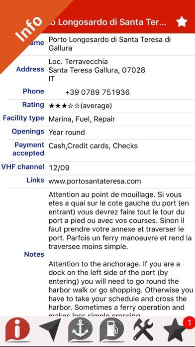
Mediterranean Sea GPS Charts is a navigation app developed by Flytomap. Available for $12.99, it was updated to v5.70 on October 13, 2023, and currently holds a 4.5 out of 5 rating based on 5.6K reviews. Before downloading, make sure your device has at least 114 MB of free space and runs Android 11+ or iOS 12.0+.
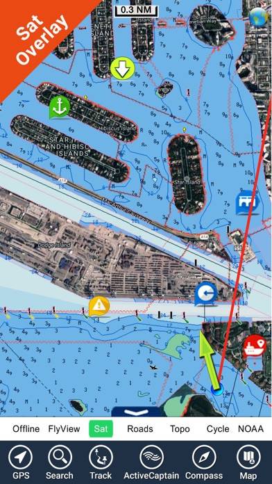
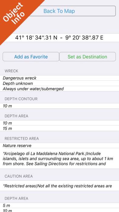
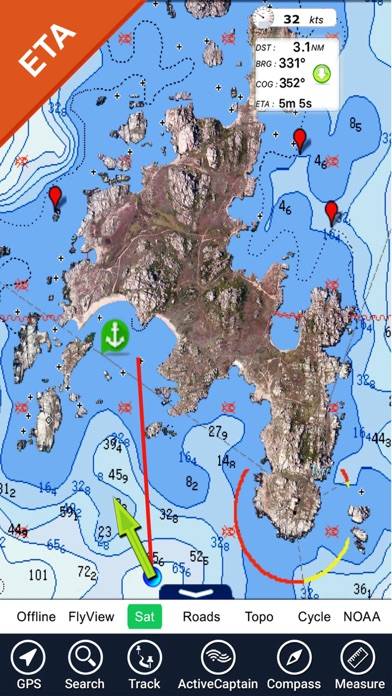
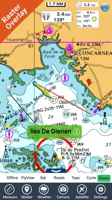
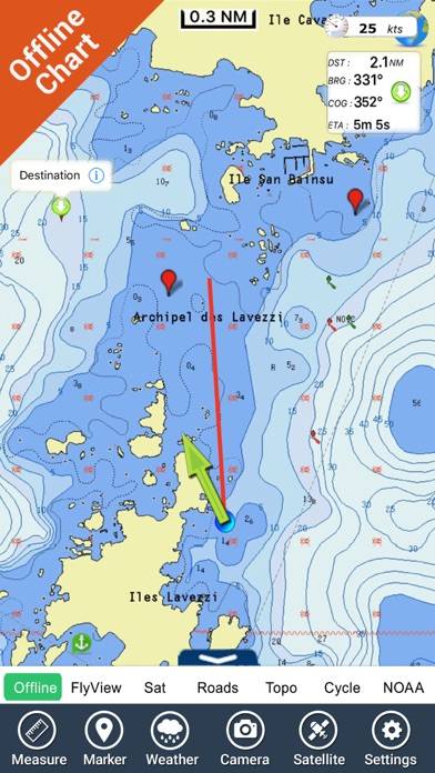
Same detail as a Chart plotter
Video: Mediterranean Sea GPS Charts Overview
Description
Available In-App Purchases
MOB - Quick waypoint
$1.99
Download Mediterranean Sea GPS Charts

Using Mediterranean Sea GPS Charts on PC or Mac
Mediterranean Sea GPS Charts can be played on Windows and macOS using Android emulators such as BlueStacks. Download an APK version and follow our BlueStacks installation guide to get started. For help with downloading or installing APK files, visit our forums.
User Reviews and Ratings
Similar Navigation Apps