Mediterranean Sea HD GPS Chart
Published by Flytomap on Sep 08, 2010Genre: Navigation
Ratings: 4.20
Version: 6.1
Updated: May 10, 2020
Downloads: 952
Mediterranean Sea HD GPS Chart is a navigation app developed by Flytomap. The last update, v6.10, released on May 10, 2020, and it’s rated 4.20 out of 5 based on the latest 5.7K reviews. Mediterranean Sea HD GPS Chart costs $13.99 and requires iOS 8.0+ and Android 7 or newer to download.
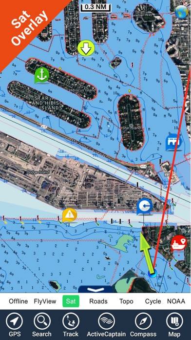
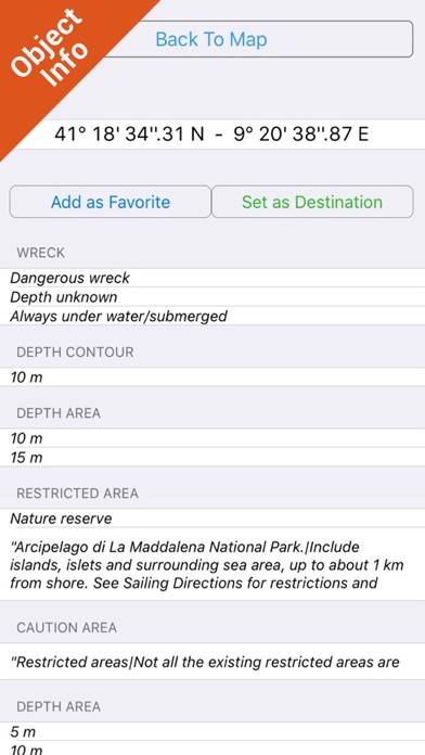
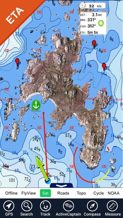
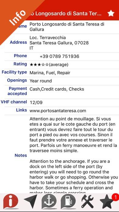
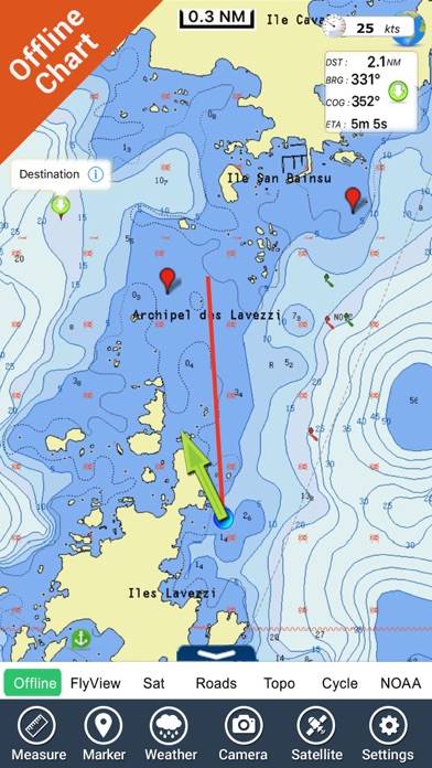
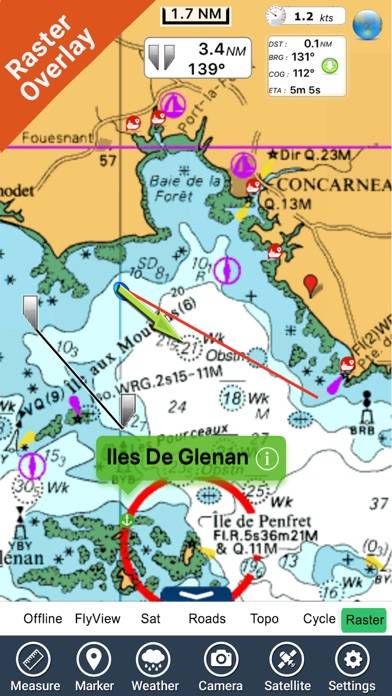
Extra detailed fishing charts
Description
Available In-App Purchases
MOB - Quick waypoint
$1.99
Download Mediterranean Sea HD GPS Chart

How to Use Mediterranean Sea HD GPS Chart on Your PC or Mac
Want to enjoy Mediterranean Sea HD GPS Chart on your desktop? Download the latest APK (6.10, 129 MB) or choose your preferred version, and follow our Bluestacks emulator guide for easy installation on Windows or macOS. For any assistance with downloading or installing APK files, feel free to visit our forums!
User Reviews and Ratings
Related Apps