Multiplans
Published by Vincent Ballenegger on Aug 30, 2011Genre: Navigation
Ratings: 2.33
Version: 3.11
Updated: Feb 06, 2023
Downloads: 650
Multiplans is a navigation app developed by Vincent Ballenegger. Available for $2.99, it was updated to v3.11 on February 06, 2023, and currently holds a 2.33 out of 5 rating based on 3 reviews. Before downloading, make sure your device has at least 27 MB of free space and runs Android 7+ or iOS 8.0+.
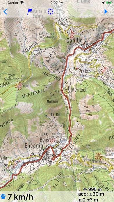
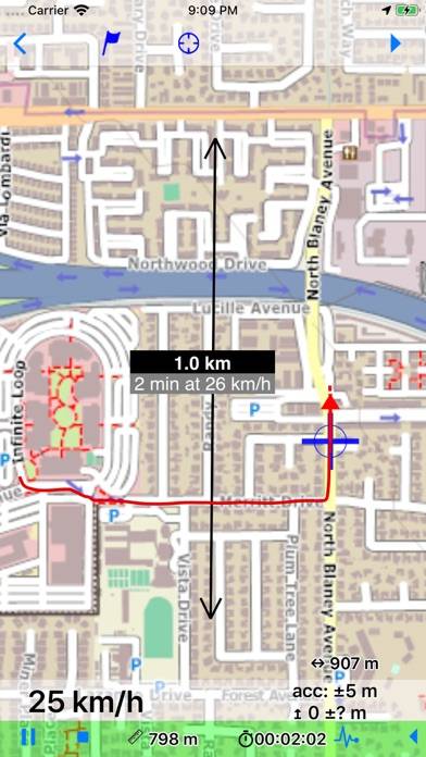
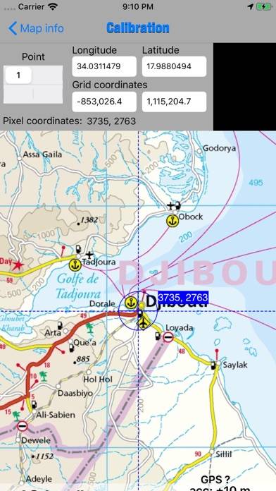
Offline maps with GPS
Video: Multiplans Overview
Description
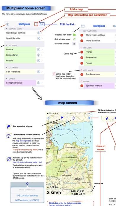
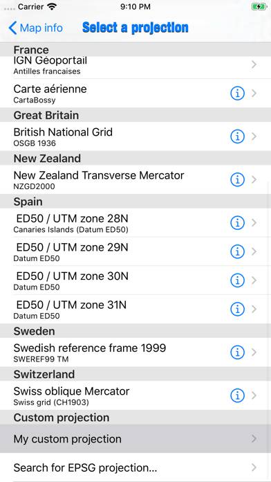
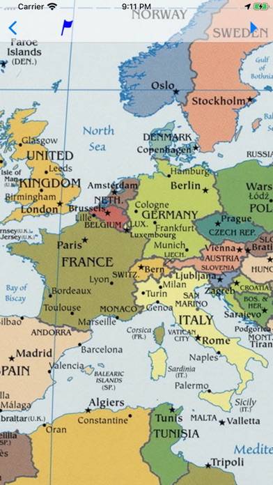
Do you have maps that you would like to use offline on your iPhone/iPad with GPS positioning? Discover Multiplans, a powerful map application in which you can import your maps (whatever their source) and view them offline with a great multitouch experience and pinpoint accurate GPS positioning.
Show more
Download Multiplans
Scan to Get the App!

Using Multiplans on PC or Mac
Multiplans can be played on Windows and macOS using Android emulators such as BlueStacks. Download an APK version and follow our BlueStacks installation guide to get started. For help with downloading or installing APK files, visit our forums.
User Reviews and Ratings
★★★★★ Very useful for specific uses
I sometimes make maps and have to test these in the field by GPS. Multiplans provides great functionality for that. Some basic knowledge of GPS, maps, datums, projections, is required. Online support, online forum support and email support are quick and accurate. Some functionality is still under development, but current functionality offers already good basics. Multiplans provides a good framework for areas where normal (GPS) maps and topomaps are not available. I am living in Laos, working in
★★★★☆ CaRe in calibration
Read all reviews
Make sure you hit the done key after you enter each points latitude and longitude it’s the only way the apps knows you’re done with each points Lat/long. When using two points make sure point 1 is in the area of the NW or NE corner. I use Google maps on my iPhone for an accurate location. Use road and or railroad crossings for accuracy. Trying to guess the map corner coordinates in open areas is iffy, unless of course they are marked on the paper map. After calibration I always try placing a fe
Similar Navigation Apps
Sail Calculator
Top #91 in Navigation Apps
Wher - Mappe fatte dalle donne
ТрансТабло
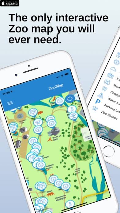
Cincinnati Zoo - ZooMap
Top #32 in Navigation Apps
Nav&Co
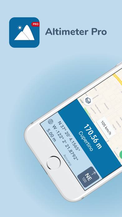
Altimeter Pro - Altitude