Pocket Earth PRO
Published by GeoMagik LLC on Nov 23, 2011
Genre: Navigation
Ratings: 4.75
Version: 3.8.5
Updated: Jul 11, 2024
Downloads: 2,617
Pocket Earth PRO is a navigation app developed by GeoMagik LLC. Available for $5.99, it was updated to v3.80 on July 11, 2024, and currently holds a 4.75 out of 5 rating based on 1.7K reviews. Before downloading, make sure your device has at least 33 MB of free space and runs Android 10+ or iOS 11.0+.
Offline Maps & Travel Guides
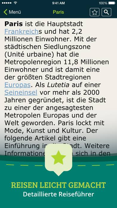
Video: Pocket Earth PRO Overview
Description
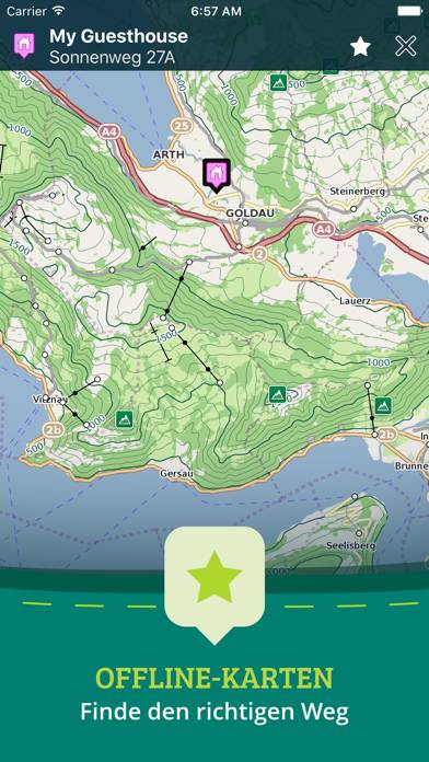
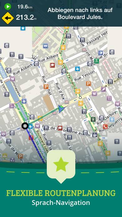
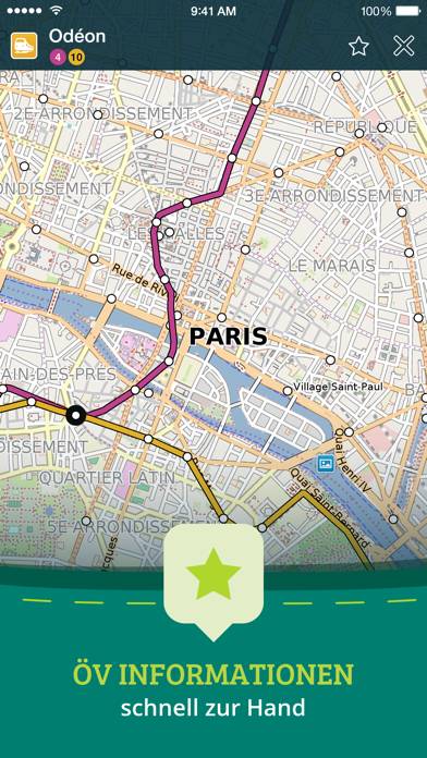
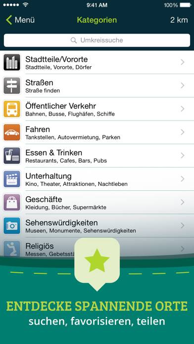
• Detailed worldwide maps and travel guides • Topographic contour maps for the outdoors • Works completely offline even with GPS • Great when abroad or in the wilderness, NO data roaming charges • Online routing with offline Voice Guidance and much more!
Show more
Available In-App Purchases
Topographic Maps
$4.99
Download Pocket Earth PRO
Scan to Get the App!

Using Pocket Earth PRO on PC or Mac
Pocket Earth PRO can be played on Windows and macOS using Android emulators such as BlueStacks. Download an APK version and follow our BlueStacks installation guide to get started. For help with downloading or installing APK files, visit our forums.
User Reviews and Ratings
★★★★★ Best Mapping App Ever
I’ve had this app for almost a decade. I use it on a regular base and it has helped me navigate so many places. Can’t recommend it enough.
★★★★★ Topo Map on Your Phone!
I love this app and have used it for many years. The maps are accurate and easily downloaded. It’s easy to mark your own custom locations, and it functions even without a phone signal.
One of the best apps available, IMO.
★★★★★ Looks awesome and feels unlike any other gps app
Bought this app 14 years ago. It is so great that it is maintained for so many years. High respect to the devs.
★★★★★ Best app ever!!!!
Best app for travel wo cell service! Saved us so often.
★★★★★ The Best
Read all reviews
This was one of the first vector based mapping software out there, and it’s still so vital to have. It’s one of the easiest to download huge areas right to your iPhone or iPad so you can take it with you anywhere. Never disappointed. Shows more details than others even when using the same OpenStreet Map. For example, power lines! Which can be very useful if your hiking in a rural spot.
I’m glad to see some updates lately, and I could see some need for an interface update soon, but until then,
Similar Navigation Apps

Tapzip
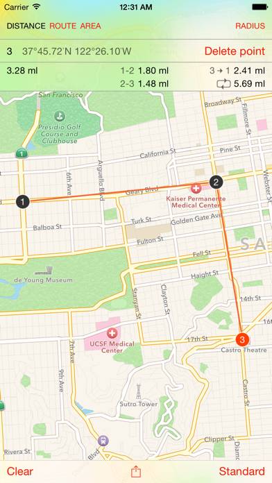
Map Tools - area, distance, radius and angle measurement
Top #84 in Navigation Apps
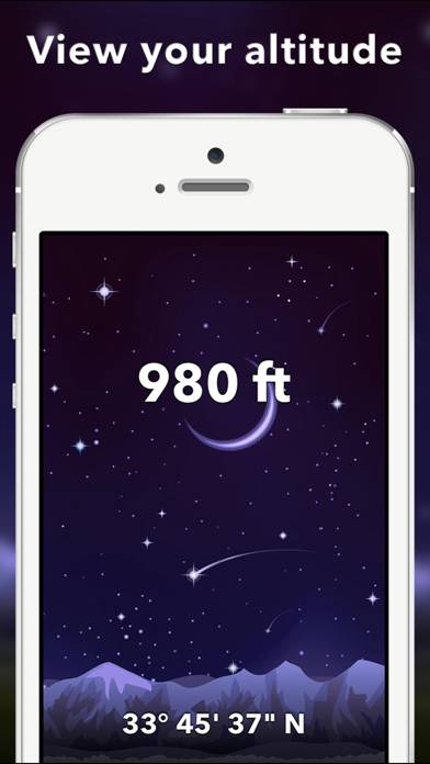
Travel Altimeter & Altitude
Top #82 in Navigation Apps

Premium Parking
Top #50 in Navigation Apps
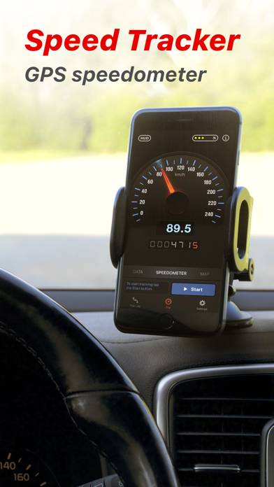
Speed Tracker. Pro
Top #45 in Navigation Apps
Randonautica
Top #46 in Navigation Apps