Scenic Map Eastern USA
Published by Mark Granger on Apr 01, 2010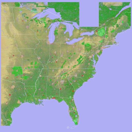
Genre: Navigation
Ratings: 5.00
Version: 1.9.2
Updated: Jan 19, 2024
Downloads: 721
Scenic Map Eastern USA is a navigation app developed by GrangerFX. Available for $4.99, it was updated to v1.90 on January 19, 2024, and currently holds a 5 out of 5 rating based on 6 reviews. Before downloading, make sure your device has at least 66 MB of free space and runs Android 15.1+ or iOS 16.1+.
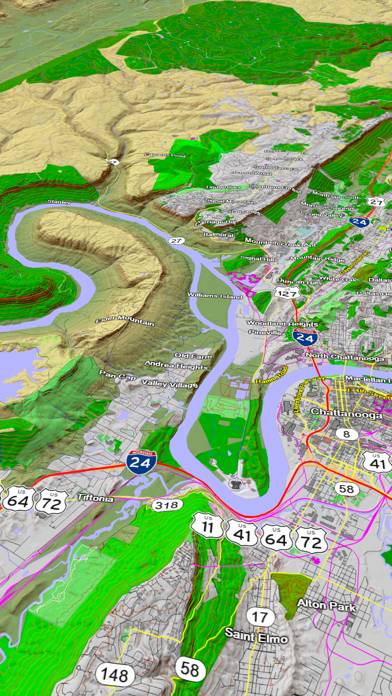
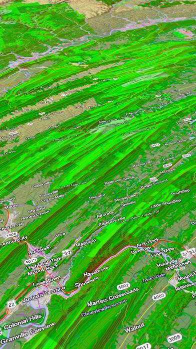
Offline 3D topo maps
Description
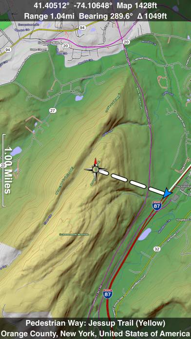
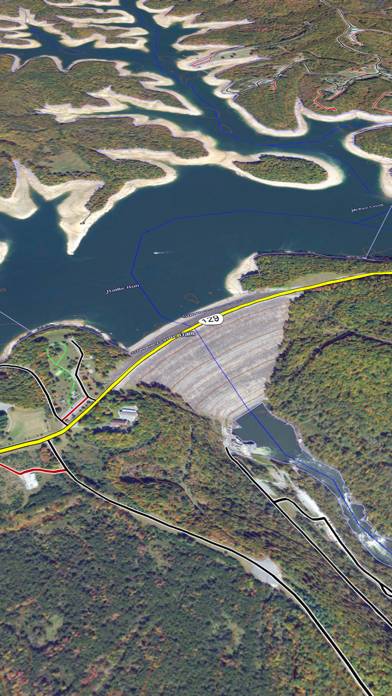
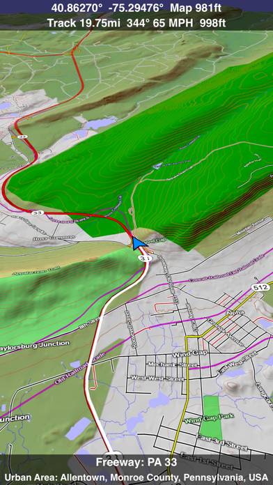
A 3D topo map of the Eastern USA. The vector map data is contained within the app and can be used without an internet connection. Use it in a car, a boat, a plane or while hiking.
Show more
Download Scenic Map Eastern USA
Scan to Get the App!

Using Scenic Map Eastern USA on PC or Mac
Scenic Map Eastern USA can be played on Windows and macOS using Android emulators such as BlueStacks. Download an APK version and follow our BlueStacks installation guide to get started. For help with downloading or installing APK files, visit our forums.
User Reviews and Ratings
★★★★★ Great App!
Just downloaded V1.3 and the app does everything advertised. Speed, features and resolution are great. Don't know what the negative fuss was all about is some previous reviews. My guess is that people are using an iPad2 wi fi (with no 3G =no GPS chip). I am using a Bad Elf GPS and the functionality is awsome. A good buy!!
★★★★★ Great app! But...
Love the app and it comes in handy but I would prefer being able to easily drop a pin instead of using these unsightly stars.
★★★☆☆ Has potential
It's neat to be able to visualize an area to hike but when you zoom in to a 100 acre lot or so, it blurs badly. It would be awesome to zoom in better. As we all know, the land may look fairly decent from afar. The current zoom level is good for mountain climbers. I need to better visualize gullies, inclines and such.
★★☆☆☆ Big Disappointment
After paying $10 for maps east, it doesn't even compare to Google Maps (which is free) and shows a local neighborhood road incorrectly. Buyer beware!
★★★★☆ Need to work with it
Read all reviews
Just tried 1st time with about a short hike. Tracked well. Maybe I missed it, but would be nice to have more detail available for a Track, such as elevation change, speed..etc. Also it seems you need to "play" the track to see it. Be nice just to get an overview of the track on a single screen. Maybe these are available and I just haven't figured it out. Should be inst manual on the iTunes app site.
Similar Navigation Apps

TrendyRent
FindShip - Track vessels
Lake District Maps Offline
Top #80 in Navigation Apps

Pula Travel Guide
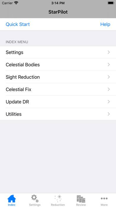
StarPilot
Top #44 in Navigation Apps

Bump Charge