Toledo Bend GPS Nautical Chart per iOS e Android
Published by MAPITECH LTD on Jul 29, 2016Genere: Navigation
Valutazioni: 1.00
Versione: 5.0
Aggiornato: Jan 19, 2018
Download: 609
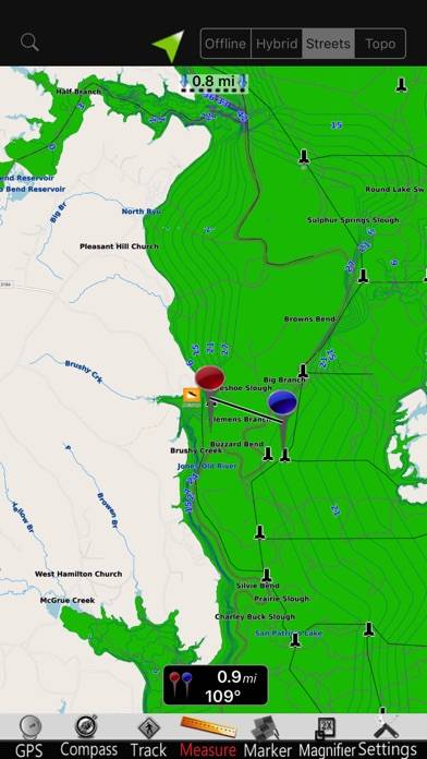
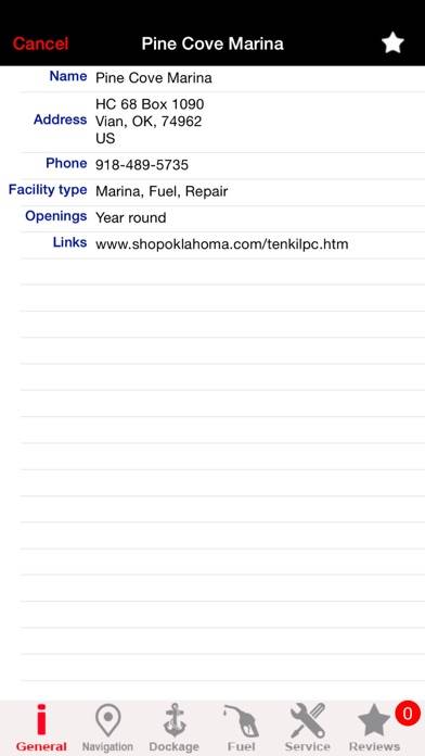
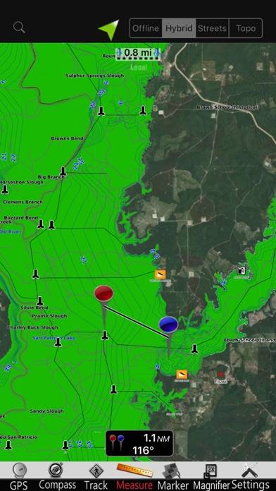
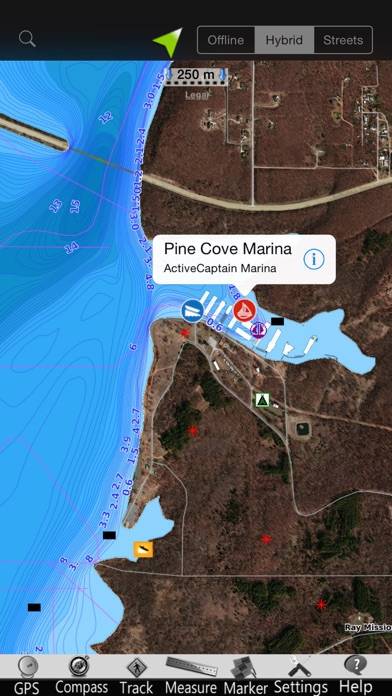
Toledo Bend GPS Nautical Chart è l'app a navigation sviluppata da MapITech. L'ultimo aggiornamento, v5.00, è stato rilasciato su January 19, 2018 ed è valutato 1.00 su 5 in base alle ultime recensioni di 1. Toledo Bend GPS Nautical Chart costa $1.99 e richiede iOS 8.0+ e Android 7 o versioni successive per il download.
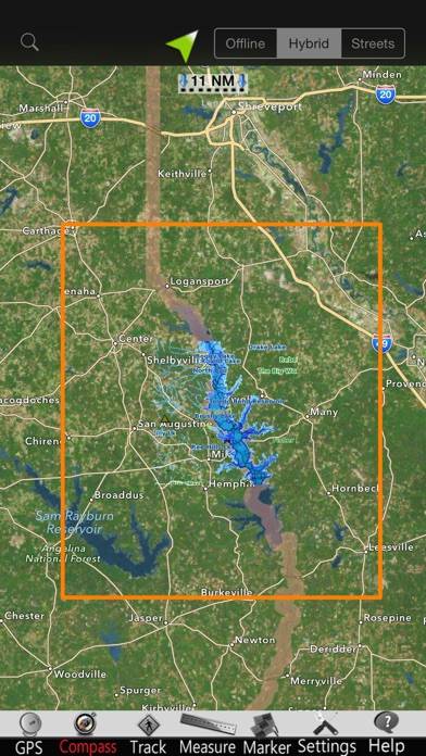
Descrizione
Scarica Toledo Bend GPS Nautical Chart

Come utilizzare Toledo Bend GPS Nautical Chart sul tuo PC o Mac
Vuoi goderti Toledo Bend GPS Nautical Chart sul tuo desktop? Scarica l'APK più recente (5.00, 94 MB) o scegli la tua versione preferita e segui il nostro Guida all'emulatore Bluestacks per una facile installazione su Windows o macOS. Per qualsiasi assistenza con il download o l'installazione dei file APK, non esitate a visitare i nostri forum!