Top 22 Apps Like MGRS Live Map for iOS and Android
Looking for apps like MGRS Live Map? We have compiled a list of the top alternative apps for iOS and Android devices. MGRS Live Map alternatives are mostly navigation Apps.
There are 22 apps similar to MGRS Live Map available for multiple platforms, including iPhone, iPad, and Android smartphones. MGRS GPS: Grid & Land Nav is the best alternative. Other MGRS Live Map like apps are MGRS GPS Mapper, Land Nav: MGRS & UTM Compass, MGRS GPS, and MapTool by dan-iatco. All of the best 2026 alternative apps are listed below and regularly updated.
MGRS Live Map Alternative Apps

MGRS GPS: Grid & Land Nav
MGRS GPS turns your iPhone into a fast, glanceable military grid reference readout — built for soldiers, search-and-rescue teams, hunters, hikers, orienteers, and field researchers who think in grids and often work without a signal.

MGRS GPS Mapper
MGRS GPS Mapper is a professional map tool designed for military, security, and outdoor users. It allows you to enter, save, and share coordinates in MGRS, UTM, and Latitude/Longitude formats.

Land Nav: MGRS & UTM Compass
Built for field navigation when a quick, readable grid matters.

MGRS GPS
MGRS GPS allows you to see your MGRS location on your iPhone or iPad. In addition, you can tweet, email, SMS on iPhone, or iMessage your location to your friends.

MapTool - GPS, Compass, Altitude, Speedometer, UTM, MGRS and Magnetic Declination
A must have toolkit for every outdoor enthusiast: climber, hiker, off-road driver. All the essential tools for navigation are integrated seamlessly in one app.

Mgrs & Utm Map
This application is GPS and coordinate systems helper especially for military personnel.

Live Street View:Panorama Maps - GPS Navigation: Live Location
Explore the World with Live Street View:Panorama Maps! Embark on a global adventure with the Live Street View:Panorama Maps app, enabling you to explore destinations around the world right from your device.

Street View Map- Live Earth 3D - Live Earth Camera Map 3D
Live Earth Map: The Live Earth Map street view shows real-time images of streets and locations around the world, letting you explore different places from your device.

GPS Live Navigation & Live Map - GPS Navigation & Live Traffic
GPS Live Navigation & FreeMaps with voice navigation, live map, traffic, offline Gps & direction. Map GPS navigation route directions location live car driving satellite view.

Street View on Live Google Map - Live Earth Camera Map 3D
Street View on Live Google Map is a tool to explore different street views worldwide with your device.

Fires Live Map, Alerts & Info - Real Time Wildfire Tracker
Providing Active Fire Data for Near-Real Time Monitoring and Applications, fire alert system, fires nearby.

Waye Navigation & Live Traffic - Avoid traffic, police, hazards
Waye Navigation provide exceptional navigation experience. Avoid traffic delays with real-time traffic information about situation on the road.

U.S. Inland Navigational Rules - Inland Waterways & Great Lakes
Essential Information for All Boat Users.

isAutoTrack Iceland Traffic - easier without your hand
############### # # auto tracking for # Iceland Traffic Snap!

Tidevande Faroe Islands - Færøske Tidevandstabeller
Tide Faroe Islands has been created with the aim of making it easy to find the tide tables for Faroese waters. With a few clicks you can get an overview of Faroese tides throughout the year.
Deed Calls - Grid - Stakeout
Deed Calls - Grid - Stakeout for iPAD, iPhone and iPod touch provides the functions for creating an area by entering deed calls, generating grid points over the area, as well as locating the area boundary and the grid points.
UTM Grid Ref Compass - GPS Map Coordinates Tool
Find out your current location on the Universal Transverse Mercator (UTM) geographic coordinate system.
Swiss Grid Coordinates Tool
Swiss Grid Coordinates Tool is a great tool to convert your coordinates into different formats. You can convert your coordinates into 4 formats: - Swiss Grid - Decimal degrees (DDD.DDDDDD°)
Best Navigation Apps Like MGRS Live Map

Address & IP Tracker Pro - Find local & public IP details
If Looking to Find an address or IP (internet protocol) location on map, this is the right tool with which you can search, locate and save Addresses or IP locations. Drop a pin & Go!

Sun Seeker - Tracker & Compass - Sunrise Sunset Path Surveyor
Sunseeker is a comprehensive solar tracking & compass app.

POIViewer - Manage your POI Library
POIViewer is a POI management tool with a lot of features. POIViewer can load, manage and display POIs (Points of Interest) on maps.
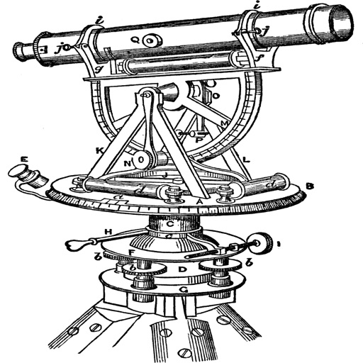
Topography
The application is very useful to Civil Engineers, Architects, Surveyors, and those interested in measuring a surface area or converting its coordinates to UTM EGSA87. This tool enables users to: 1.