FlyBy Nav
Published by Lonnie Ganz on Jun 15, 2011
Genre: Navigation
Ratings: 5.00
Version: 1.60
Updated: Jan 31, 2024
Downloads: 725
FlyBy Nav is a navigation app developed by Lonnie Ganz. Available as a free download, it was updated to v1.60 on January 31, 2024, and currently holds a 5 out of 5 rating based on 2 reviews. Before downloading, make sure your device has at least 23 MB of free space and runs Android 11+ or iOS 12.0+.
Video: FlyBy Nav Overview
Description
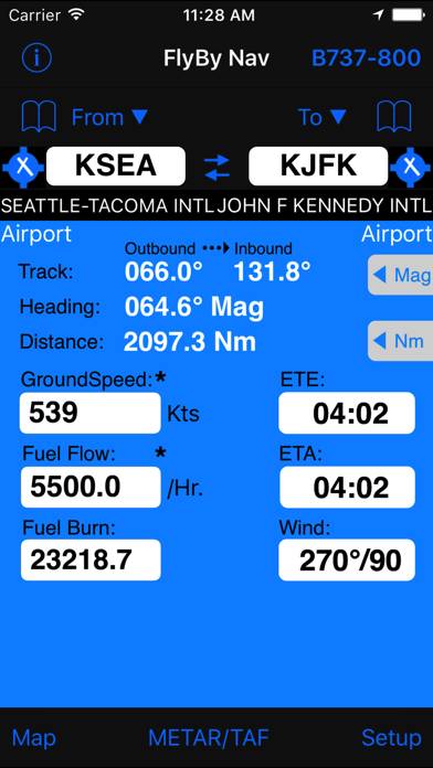
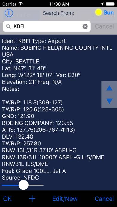
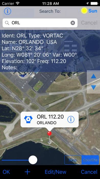
Flight planning is as easy as tapping in your point of departure, arrival and winds! In one screen, FlyBy Nav displays track, heading, distance, ground speed, time enroute, ETA, and fuel burn.
Show more
Download FlyBy Nav
Scan to Get the App!

Using FlyBy Nav on PC or Mac
FlyBy Nav can be played on Windows and macOS using Android emulators such as BlueStacks. Download an APK version and follow our BlueStacks installation guide to get started. For help with downloading or installing APK files, visit our forums.
User Reviews and Ratings
★★★★★ FlyBy Nav
Had previously utilized FlyBy Nav, FlyBy E6B, & FlyBy Nav Pro on an HP PDA since 2004 and am glad to see it was available for iPod/iPhone. Both the E6B & Nav are greatly improved with easy to use features such as fuel burn rates and ETE when current winds are know and added into calculations. Impressive data base of airports. Even if you are enroute destination not in data base, you can easily input the lat/long, enter, and save in your favorites.
Would definitely recommend to fellow aviators
★★★★★ FlyByNav is a Fantastic App!
Too many flight planning apps require either a WiFi connection, 3G, a logon or a subscription. FlyByNav only requires a one time fee and can be used offline!
Here's what I like:
Off Line Use of entire USA database
Quickly calculate Time Enroute between airports
Saves multiple aircraft flight profiles
Quick Charter Quoting
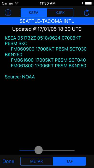
Quick METAR/TAF of departure and arrival airports
One Time Fee for Life! No Subscriptions
My only wish is for the app to download current winds aloft for a selected cruise
★★★★★ Great app
Read all reviews
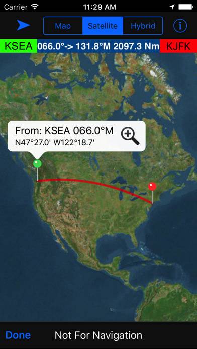
Very quick & easy to use. As a flight instructor I can quickly verify a students flight plan calculations. Using the satellite map view we can discuss ground reference points and actually see what they look like from the air.
Similar Navigation Apps
MapPoint Pro
Aircraft Altimeter
Top #94 in Navigation Apps

Smou
dēzl™
Top #97 in Navigation Apps
WCs in the near
ВДНХ