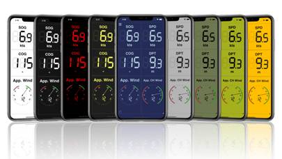
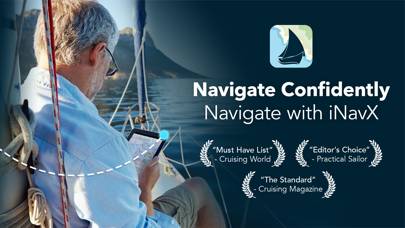
iNavX: Marine Navigation
Published by NavX Studios LLC on Feb 12, 2019Genre: Navigation
Ratings: 4.76
Version: 5.6.36
Updated: Oct 30, 2024
Downloads: 1,686
INavX: Marine Navigation is a navigation app developed by NavX Studios LLC. The last update, v5.60, released on October 30, 2024, and it’s rated 4.76 out of 5 based on the latest 19.4K reviews. INavX: Marine Navigation is FREE and requires iOS 13.0+ and Android 12 or newer to download.
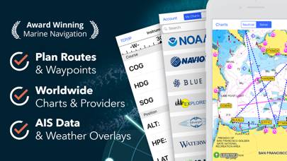
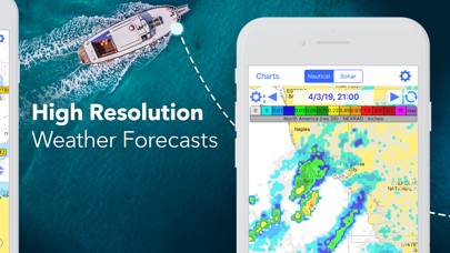
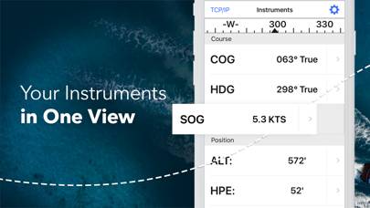
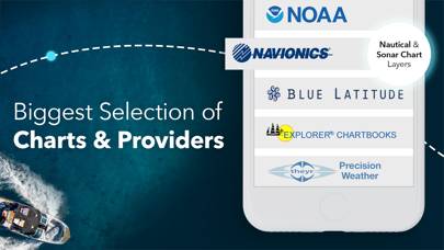
Sailing & Boating Chartplotter

Video: INavX: Marine Navigation Overview
Description
Available In-App Purchases
AIS Live
$99.99
C-MAP World Chart
$59.99
Navionics+ Caribbean (iPad)
$79.99
Navionics+ Caribbean (iPhone)
$44.99
Navionics+ USA/Canada (iPad)
$79.99
Navionics+ USA/Canada (iPhone)
$29.99
Download INavX: Marine Navigation

How to Use INavX: Marine Navigation on Your PC or Mac
Want to enjoy INavX: Marine Navigation on your desktop? Download the latest APK (5.60, 293 MB) or choose your preferred version, and follow our Bluestacks emulator guide for easy installation on Windows or macOS. For any assistance with downloading or installing APK files, feel free to visit our forums!
User Reviews and Ratings
Related Apps