Nautical Charts & Maps is a navigation app developed by LW Brands LLC. The last update, v1.12, released on April 02, 2024, and it’s rated 4.62 out of 5 based on the latest 3.6K reviews. Nautical Charts & Maps costs $8.99 and requires iOS 14.0+ and Android 13 or newer to download.
Nautical Charts & Marine Maps
Video: Nautical Charts & Maps Overview
Description
Main Features Include:
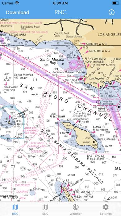
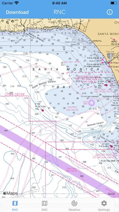
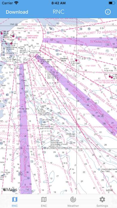
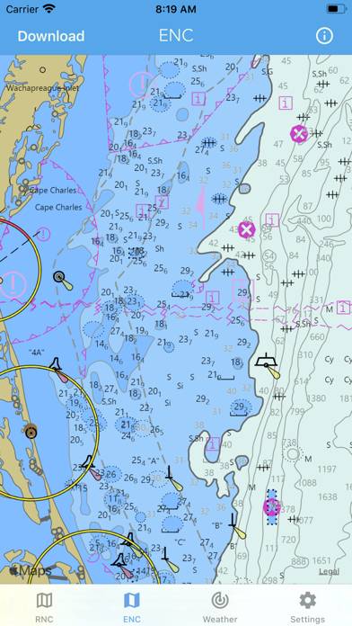
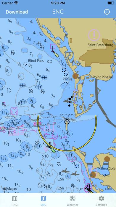
+ NOAA Electronic Navigational Charts (ENC)
+ NOAA Weather Map Overlays
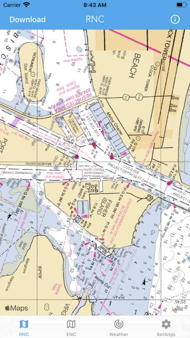
-- ELECTRONIC NAVIGATION CHARTS --
How to Use Nautical Charts & Maps on Your PC or Mac
Want to enjoy Nautical Charts & Maps on your desktop? Download the latest APK (1.12, 14 MB) or choose your preferred version, and follow our Bluestacks emulator guide for easy installation on Windows or macOS. For any assistance with downloading or installing APK files, feel free to visit our forums!
User Reviews and Ratings
★★★★★Excellent app
After looking around to purchase some charts I found this app. Worth every penny. Great tool to have in addition to my electronics.
★★★★★Ted
Easy to use, no passwords right when I need it. Perfect.
★★★★☆Pretty good
Good renderings of the electronic charts. I wish it wouldn’t switch to the lower resolution rendering of the map so readily when I zoom out.
★★★★☆Great so far
It is handy for planning, needs a key/legend to identify the obstructions and markers etc. I like how after the maps are downloaded it easily transition from area to area. Would recommend it for an additional navigational aid.
★★☆☆☆No maps???
I am trying to use it as a nautical chart but it looks more like Apple Maps. Is it because I am abroad? It didn’t exclude anything when I was looking at the app presentation.
I think I am doing something wrong and I will change my rating when I figure it out or get assistance. Otherwise I will have to ask for a refund